In order to hike "mountains" instead of "large hills" one must venture outside of Connecticut and head to a bordering state, so off we went to Vermont for the day. Mt. Ascutney's elevation is 3,150 feet and about a 6 mile hike out and back. The mountain is located in Windsor, VT and getting to the parking lot was a fairly short distance off of 91. There are a few different trails that will take you to the summit of Mt. Ascutney. After doing our research it looked like the Weathersfield Trail was a suitable choice that offered great views, was challenging, and had some cool waterfalls thrown in the mix.
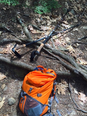
The Weathersfield Trail is well marked with white blazes. From the parking lot the trail ascends slowly among rocks and after .4 miles we came to our first spot, Little Cascade Falls. This falls had three small water falls that lead to a pretty good size drop. We decided this was a good spot to drop our packs for some photos. It was at this very spot where I was fiddling with my bag that I heard a loud thud and looked to see Ross franticly hanging on the side of the edge of a rock on the falls. He slipped on a muddy spot by the edge as it had rained the night before. I quickly showed off my strong muscles and pulled him up. As you can imagine this gave us quite a scare. He was a little bruised up, but luckily the only real injury was to one of his fingers. After that scare and Ross being banned from the edges of steep drops for the rest of the trip we continued on our way! :)
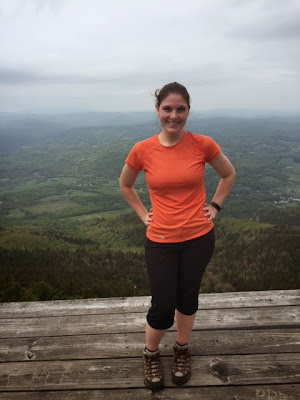
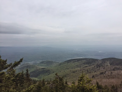
After .7 miles we came across Crystal Cascade Falls which are 84 foot falls. It was a nice spot to carefully play on the large rocks and enjoy the views of VT. The trail gets much steeper after this section over the next 1.2 miles. The 1.2 miles due to it's steepness felt much longer. I could feel the calves burning on this one. We reached Gus's lookout, which was a large rock that was a great spot to sit and have lunch. If it was a clear day it would have had terrific views of the surrounding mountains, but unfortunately for us it was a little overcast. We followed the trail .2 miles to West Peak Vista. This spot was breathtaking. It is a hang glider launch which has a wooden platform with no barriers where hang gliders jump off of the mountain. It was cool to stand on it and take some photos, but I could never imagine jumping off this thing into the open sky and mountains below. I haven't done my hang glider research, but how the heck do they know where to land? We continued on our way another .4 miles and we finally reached the top of the mountain. The very top of the summit has a big communication tower on it and didn't offer much of a view, but a few hundred feet to the left of the summit there is a 24 foot observation tower that offered 360 views of the near by mountains. My favorite thing about this observation tower, which I wish all observation towers had, was that it labeled on each side all of the mountains that you could see on top of the tower. Props to whoever worked on that one.
We reversed our course and headed back down the mountain. Going down was definitely a lot easier than going up. The rocks made it more challenging and we had to watch our footing, so we didn't twist an ankle. In total on the trip our elevation gain was about 2100 feet. Mt. Ascutney was an awesome day hike minus one of us almost falling down the side of a waterfall.
 |
Crystal Cascade Falls
 |
 |
| At the hang glider launch |
 |
| At the launch! |
 |
| Top of the observation tower on a cloudy day |


